Walker and I's (arguably) first date involved a very long walk down a very damp stretch of sand, but it was meant to be that way, the Scottish sea. Here is the tale of one of our less romantic walking endeavors.

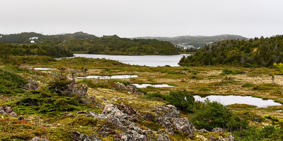
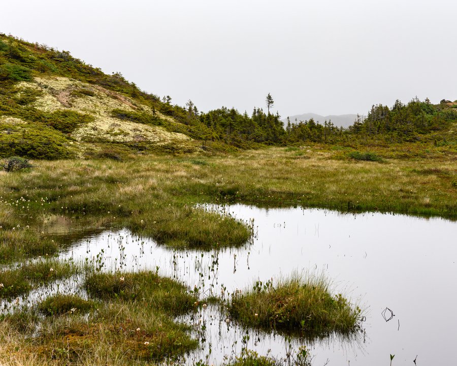
When we arrived at the French Head Beach, and noticed a few scattered people traversing a bit of a field, we assumed that was the start of the loop we had found on the only hiking map of the Twillingate Island we could find: a hand drawn one, printed from an online PDF. To say it wasn't exact is precisely true. We started down the path and then, imperceptibly, started to notice it was getting a bit spongier, and then just wet. Everyone else, literally everyone, had turned back. And then the path itself sunk into the marsh and we were ankle deep in bog suck.

Every time we thought of going back, it seemed faster to keep going forward. And then we just kept getting wetter. We tried climbing some hills, but got tangled in scraggly brush. And the mosquitoes. Needless to say, we were not calm and gentle with our words as we sunk, step by step, into the bog. And, as you can see, our GPS was unhelpful.

Eventually, we did make it through the everlasting bog. We were hoping to come out near Spillar's Cove, but since we had no idea where we were in the bog, we ended up veering a bit past it. And our breath was just . . . gone.

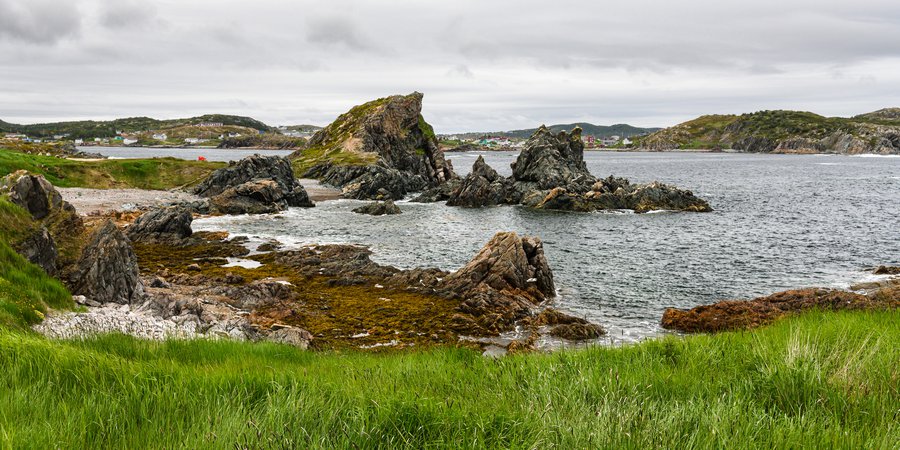
Where had we arrived? It looked so similar to the west coast of Ireland, and yet, where were the tourists? (Oh, right, they had been deterred by the bog)

We looked back upon the bog and sighed and then decidedly turned back toward the sea and the blissfully clear path along its edge.
Find the Alie!

As you can see, it wasn't all la-di-da for me; I knew we had only a few hours to get back for our afternoon boat ride, so I blazed the very empty trail.

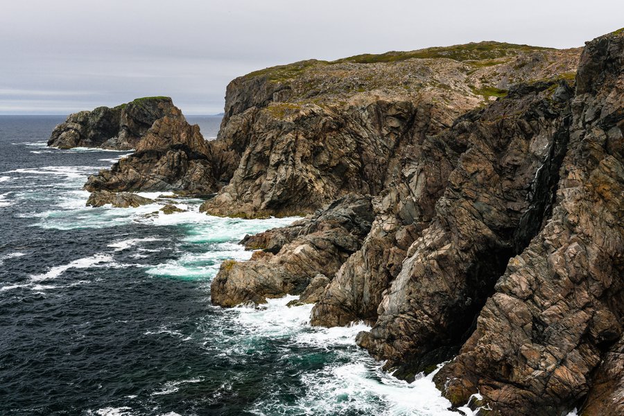
We kept walking, and found cove after cove of the most dramatic cliffs. And not a soul. Just the flight-light seabirds and the turquoise waters below, foaming against the rocks.

These little piles or karsts incredibly had greenery growing on them, and huge nests of local birds.
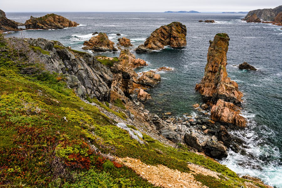

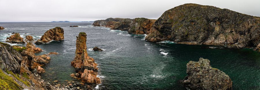
Every step, I literally 1. held my footing as I looked down, 2. begged Walker not to get too close to the edge while shooting these photos, 3. whistled in awe.

And 4. breathed thanks we were on this side o' the bog. Oh and 5. scratched my forehead from all the bug bites acquired in said bog.


The hike was miles back, mostly along the coast, with interstitial moments in the woods.
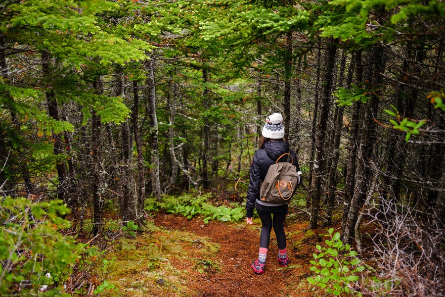
Are you getting tired of these trekking pants that appear in almost all my outdoor photos? They are so comfortable and practical. Thank you, Fjallraven, for making things that make sense in thorns and bogs and pine needle palaces,

and cliffside rocks.

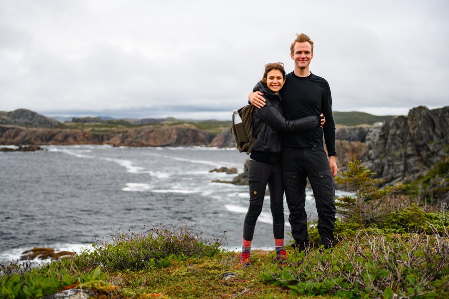
Behold. Hark. One of the two yearly photos we manage to get. Our bog trek has only intensified our happiness to be together anywhere but a bog.
Every direction, the views were dramatic and different, and every few meters, the view changed. It was truly spectacular.


Can you even believe this? As you can see, we were getting closer to being near civilization,


and yet the land held onto its wildness. And Alie charged on ahead (see above, bottom left).
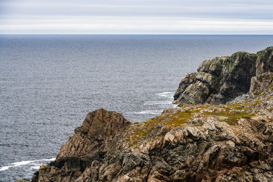

We surveyed beach after hidden inlet of beach, unreachable by land except with gear, I'm sure.

This is a paper map, not a phone, friends. And was it helpful? No.
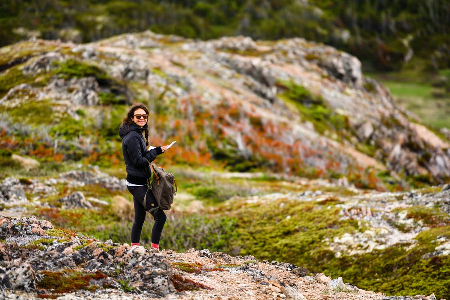
Well, not really. I was looking at whether we had time to do another loop, the French Head Loop itself. We decided to book it, and go for it.

The cliffs were taller, the water bluer,


and the terrain just as kind as before.


Walking across this beach of round stones that looked like dino eggs was a nice way to completely exhaust all the leg muscles we hadn't worked in the bog.


One final peek at the the wet mess that yielded all this beauty,
and fond smiles for the gorgeous, isolated splendor of Twillingate's hiking trails.


